The route on the map
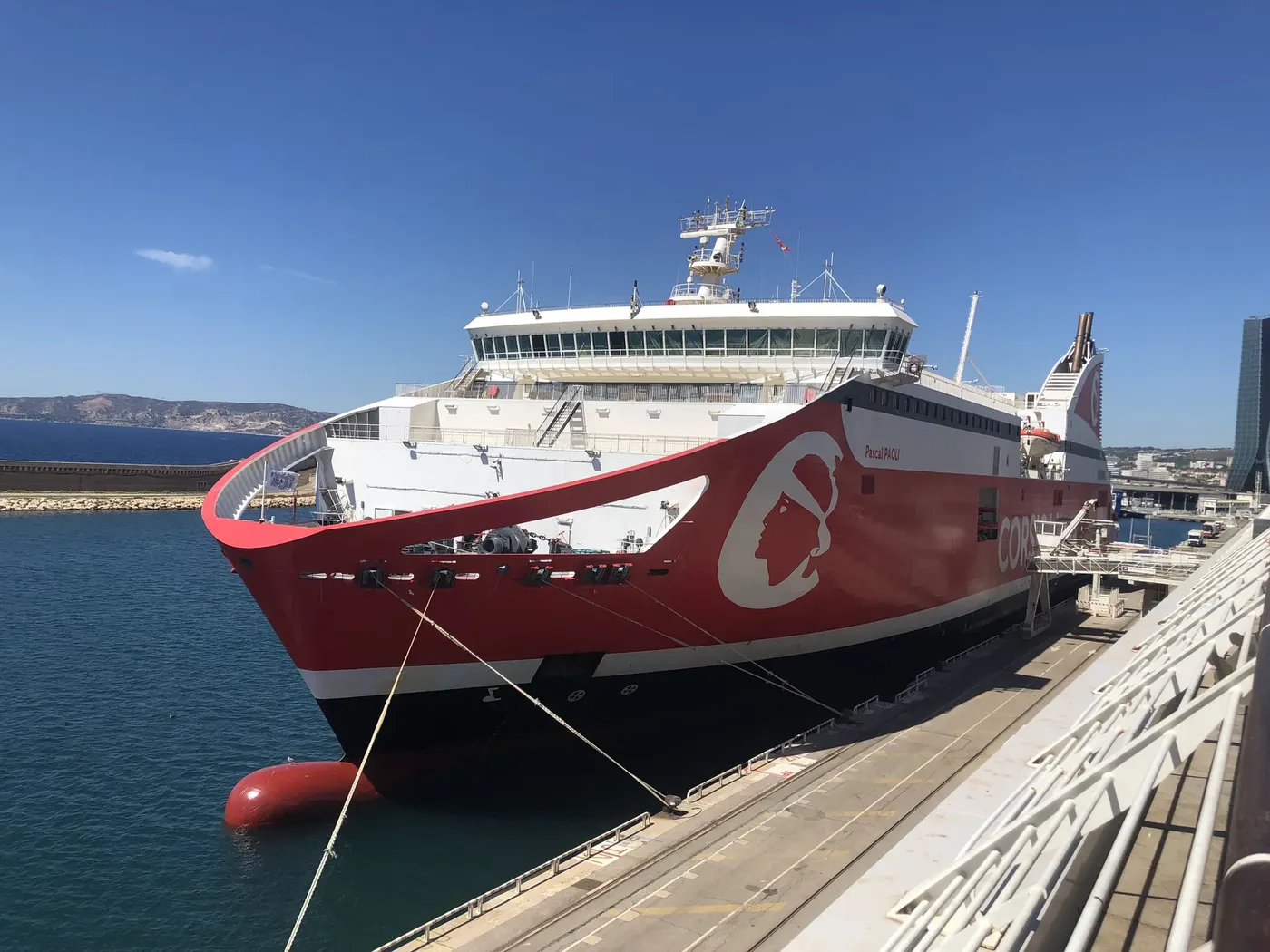
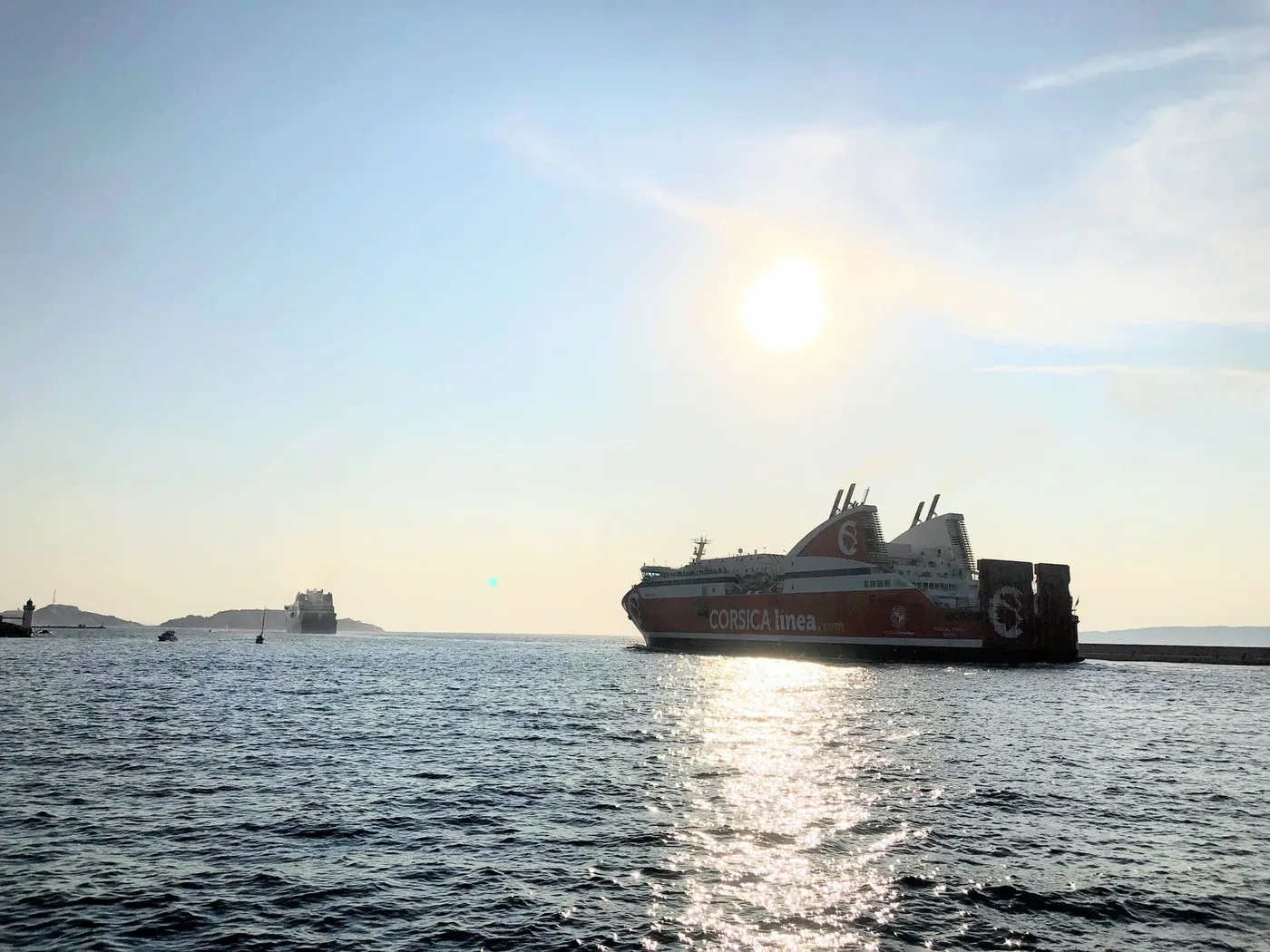
From Marseille the ship crosses the western Mediterranean to the northern tip of Corsica, rounds Cap Corse and runs down its eastern side to Bastia. That detour around the headland is why the crossing takes longer than the one to Ajaccio, even though Bastia looks no further on the map.
- Sea crossingaround 370 km, measured around the tip of Cap Corse
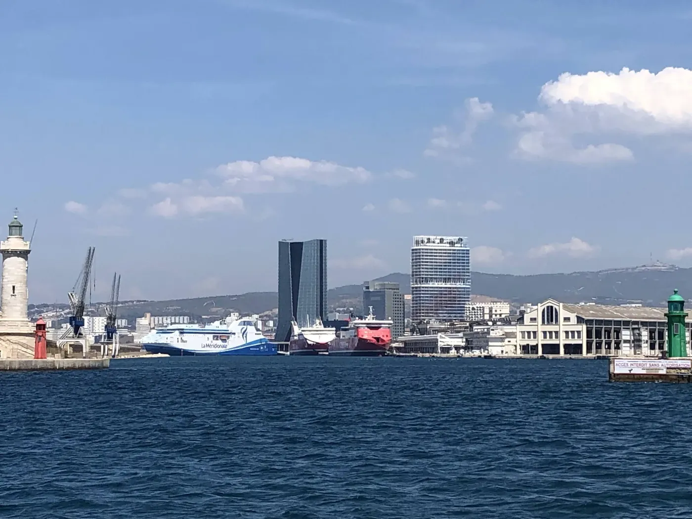
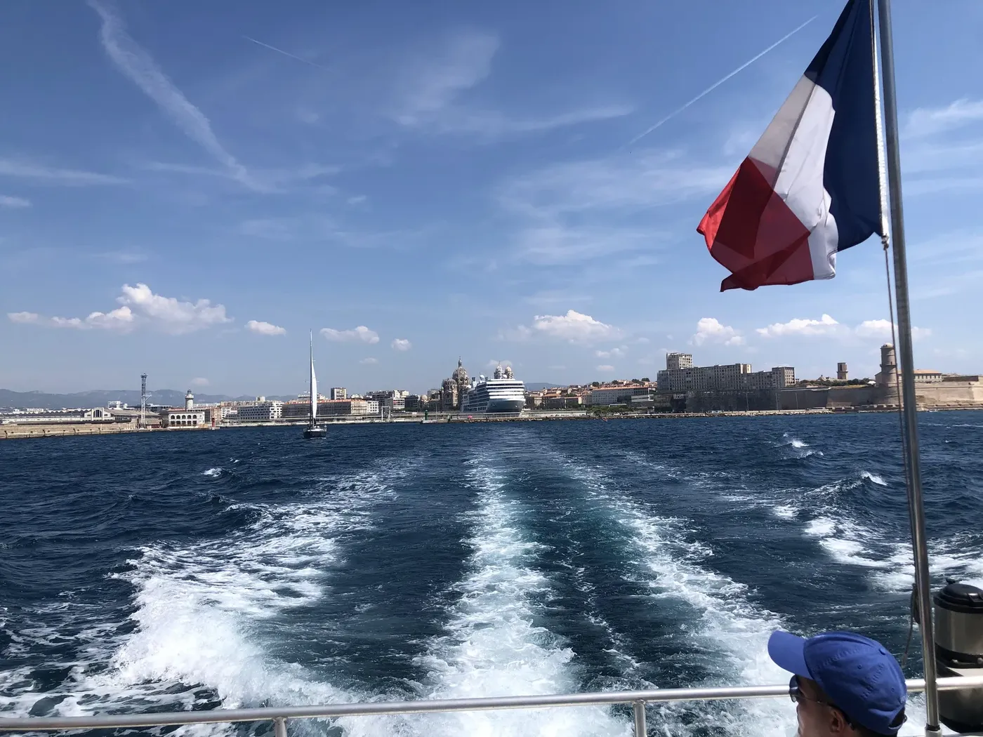
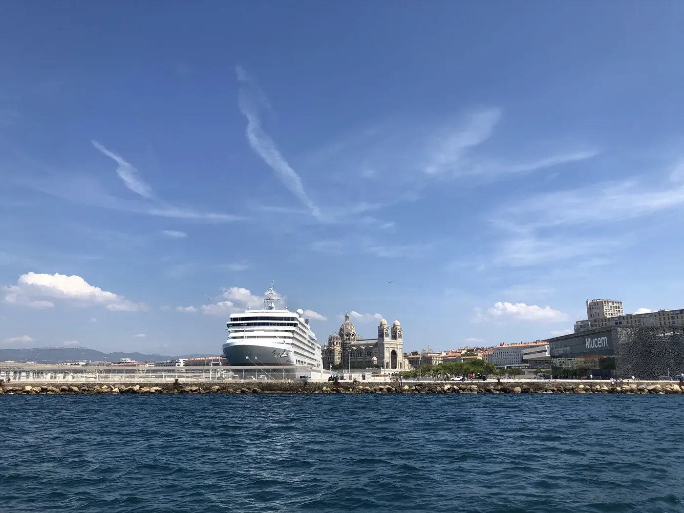
- DepartureGrand Port Maritime de Marseille, terminals north of the city
- ArrivalNouveau Port Bastia, right by the town centre
- Onward from BastiaSaint-Florent 30 min, Corte about 1 hr, Calvi about 1 hr 45
 FlashFerry